ADSB Receiver (Avare ADSB)
Description
Dive into the world of aviation with your very own ADSB Receiver. Experience real-time air traffic data right at your fingertips, transforming your device into a powerful radar!
Receive live ADSB data (978 MHz UAT and 1090 MHz ES). All you need is a supported USB dongle and an OTG adapter/cable, both available from various sources on the internet. No subscription required!
Harness the capabilities of your Software Defined Radio device (RTL-SDR) to capture live Automatic Dependent Surveillance Broadcast (ADSB) data. With ADSB Receiver, you'll have access to:
- Aircraft Positions
Track the movements of nearby aircraft, including altitude, speed and heading. - Weather Data (UAT only)
Stay informed with official NEXRAD weather images and aviation reports like METAR, PIREP, WINDS and more.
Available in the Android store as a free version (which requires the app to be restarted once a certain amount of data has been received) and as an unlimited "Pro" version.
Usage
Please read the User Guide for a more detailed description of the app.
- Attach a supported USB dongle to your Android device using an OnTheGo (OTG) cable. Make sure your device supports OTG!
- Allow access to the dongle.
You should see packages flowing in quickly, depending on your location. Click on an aircraft in the "Traffic" view to show it on the map, or open the "Map" view directly. Clicking on the text-box after selecting an aircraft on the map will provide additional details.
You're a Drone Pilot and concerned about nearby traffic? Enable traffic monitoring based on range to be alerted of any approaching aircraft.
You can save all data received or forward it to most GDL90 compatible apps (AvareX, ForeFlight, iFlyGPS, FltPlanGo, DroidEFB, ...). The app can also receive data from external systems in dump1090/dump978 (AVR) format on UDP port 47909.
For example, if you have AvareX installed, use this app to forward live ADSB data (traffic and weather) as follows:
- In Avare ADSB
- Enable "GDL90"
(you do not need to enable the "Destination" option)
- Enable "GDL90"
- In AvareX
- No configuration needed, but make sure the relevant layers are visible (Traffic and Weather)
Please note that AvareX limits the visibility of ADSB data by default. It will only show 20 aircraft within 3000ft vertically and 10nm horizontally of your own position. Use the S/M/L button to extend:- S: 20 aircraft, 3000 ft, 10 NM
- M: 200 aircraft, 6000 ft, 50 NM
- L: 1000 aircraft, 30000 ft, 500 NM
- No configuration needed, but make sure the relevant layers are visible (Traffic and Weather)
Hardware
You need:
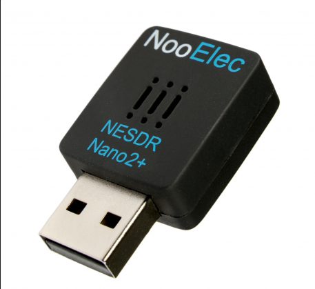
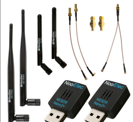
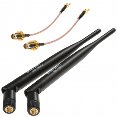
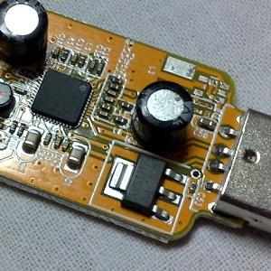
- RTL-SDR based USB dongle with Antenna
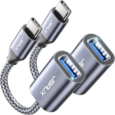
- OTG Cable or Adapter
- ADSB Antenna (for better performance)
Supported and recommended tuners:
- Rafael Micro R820T
- Rafael Micro R820T2 (R860)
Not recommended or not supported:
- Elonics E4000 (will almost never work)
- Fitipower FC0013 (very low performance)
- Fitipower FC0012
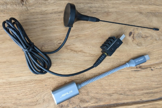
Example OTG Cable & Adapter
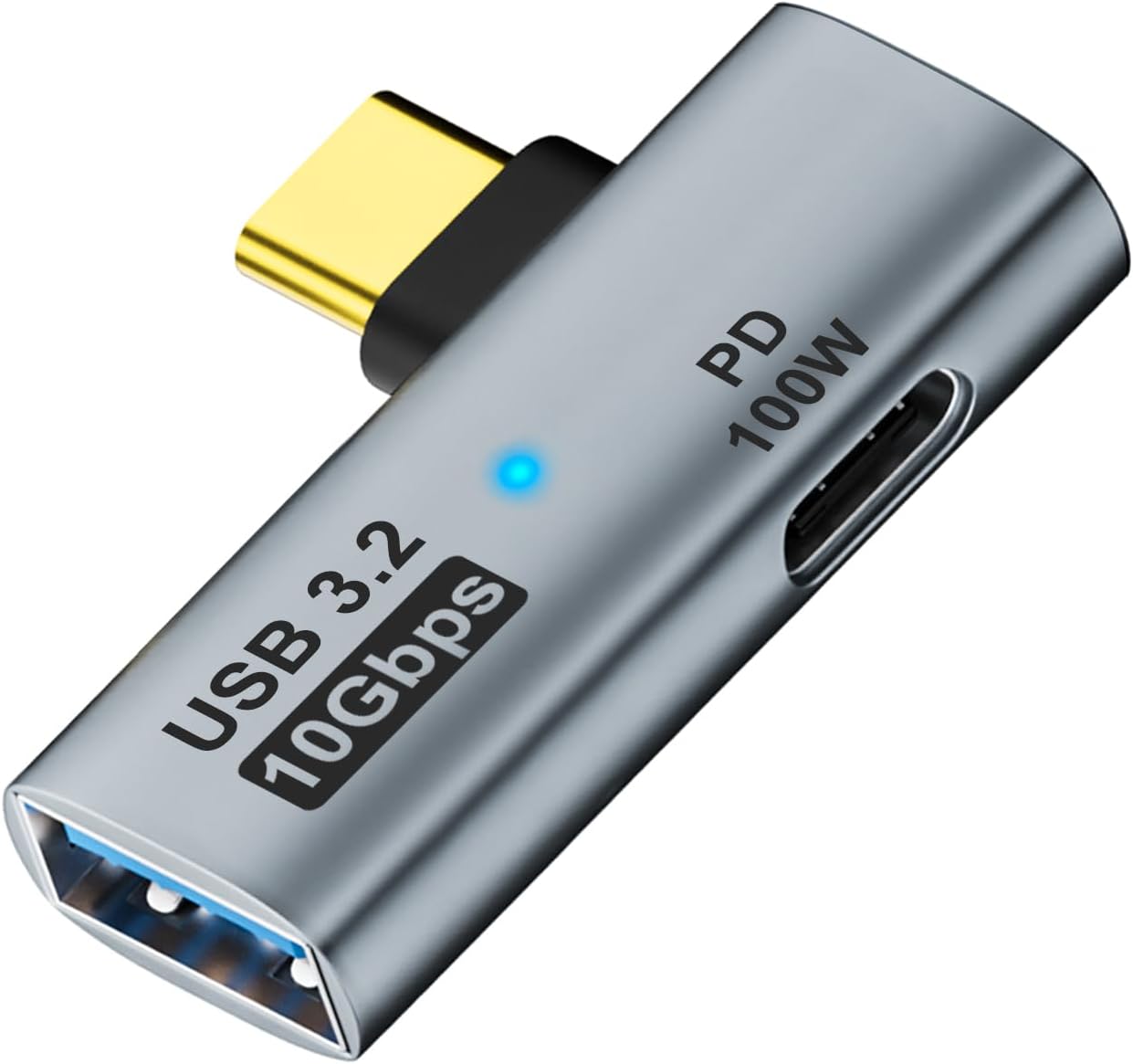
USB C to USB 3.2 Adapter with Charging Port
Optional power source for Android device!
Frequently Asked Questions (FAQ)
- Does this app require an active internet connection?
- No, all ADSB data is received over the air. It is in fact recommended to disable all network communications (enable flight mode) to save battery power. However, if you are using the internal Map, you will require an active internet connection.
- Does this app work everywhere?
- Yes, Avare ADSB works globally.
The free AvareX app provides FAA aviation materials for the United States and other maps for most of the world.
- Yes, Avare ADSB works globally.
- Is it required to "root" the Android device for this app?
- No.
- I see data coming in on the "Data" screen, but the map is still empty?
- Just wait a bit longer. Various single frames need to be received, in order to display the data on the map.
- Does this app work from the "ground"?
- Yes. You will receive 1090 MHz ES (Traffic) very easy but 978 MHz UAT (Traffic / Weather) reception can be limited.
- Will this app keep receiving data while the device is in sleep mode?
- This depends on the device and the related Android configuration. Some devices will continue (e.g. Samsung Galaxy S3), some not (e.g. Asus TF300T).
- I cannot open the map or other windows in the app, what may cause this?
- Verify if you have "Don't keep Activities" enabled in the Developer Options, or are limiting Android Activities in any other way.
Credits
- rtl_tcp_andro (Martin Marinov)
- android-rtlsdr (Kees Jongenburger)
- rtl-sdr (Steve Markgraf, Dimitri Stolnikov, Hoernchen, Kyle Keen, Pavel Vasilyev, Aliaksandr Babrykovich)
- dump1090.c (Salvatore Sanfilippo)
- dump978.c (Oliver Jowett)
- DecodingADSBposition.html (Edward Cardew)
- adsb.js (Myles Grant)
- SurfacePositionV0Msg.java (OpenSky Network)
- Document 1090-WP-14-09R1 (RTCA special committee 186)
- Document SBS-Description-Doc_SRT_47_rev01_20111024 (Federal Aviation Administration)
- BackgroundService.java (Zubair Khan)
- jweather (David Castro)
- Androidplot (Various)